
RADAR TECHNOLOGY TO SEE BENEATH THE SURFACE
Uncovering the unseen
Rubicon uses complex radar data along with advanced signal processing, proprietary machine learning, and sector-specific geospatial layers, to provide insights on what lies above and beneath the surface, where traditional earth observation sensors can’t go.
ABOUT RUBICON
Revealing the hidden layer of our planet
Traditional Earth Observation sensors are confined to what’s visible above ground. They can’t penetrate forest canopies to reveal the ecosystems beneath, measure soil moisture, or expose hidden illegal activities—yet that’s where much of the critical action occurs.
Our approach goes deeper. By combining advanced radar data with proprietary signal processing, machine learning, and domain-specific geospatial analytics, we extend beyond surface observations to deliver insights into what lies beneath—where conventional Earth Observation tools fall short.


SOLUTIONS

Powerful forestry and mangrove monitoring tools designed to accurately track deforestation, degradation, and fragmentation across forests and mangroves.
Our solutions help you oversee vast, hard-to-reach areas, ensure compliance with regulations and standards, and support you throughout the entire development of your nature-based projects.
Nature-based solutions

Illegal activities thrive in forests where traditional sensors fail.
We can see through the canopy to reveal ground disturbance and suspicious movements.
Security

Usual tools falter in natural landscapes due to vegetation growth. Lower-frequency signals help maintain greater stability for a more reliable monitoring.
Land subsidence

Geologic hydrogen has game-changing potential, but assessing its potential is hard. Our ML-based SAR solution can build map of hydrogen anomalies to guide exploration.
Geologic Hydrogen

Our solutions draw on deep SAR expertise, research-backed models, and proprietary tools.
We can help you build the right SAR capabilities and solutions.
Custom solutions
TECHNOLOGY
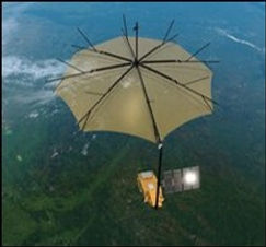
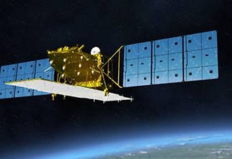
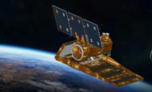
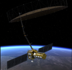
Leveraging the power of low-frequency SAR
At the core of our technology lie lower-frequency synthetic aperture radars, whose greater wavelengths compared to mainstream SAR can penetrate vegetation and soils to various depths.
We can monitor what is happening below the canopy and reveal unknown tracks and camps, illegal activity such as selective logging, or unlock advanced geological applications in resource exploration.

Accelerated analytics
Information loses value quickly, yet Earth observation analytics is often slow and cumbersome at scale.
That is why all our models are built to deliver unprecedented speed and ensure that you get the information that you need as fast as possible.
Graph & Compilation Optimizations
Precision & Numerical Optimizations
Hardware Acceleration
Memory & Efficiency Enhancements
State-of-the-art despeckling algorithms
SAR images are inherently hard to interpret due to speckle, a grain-like texture caused by the random interference of many reflectors within each pixel of the image.
Leveraging state-of-the-art research, we have built unique despeckling capabilities that allow us to enhance significantly image quality and reveal hidden features.
We can detect subtle anomalies and changes that traditional despeckling methods miss.

THE EARTH STUDIO
All our solutions are delivered through the Earth Studio, our proprietary interface for an intuitive and ultra-fast visualization of complex geospatial projects


Visualize multi-layered projects at lightening speed without the need to install any software


Seamlessly generate editable reports and download the complete geospatial project for integration within other projects