
Radar technology to see beneath the surface
Uncovering the unseen
Rubicon uses complex radar data along with advanced signal processing, proprietary machine learning, and sector-specific geospatial layers, to provide insights on what lies beneath the surface, where traditional earth observation sensors can’t go.
Leveraging the power of L-band SAR
We use L-band synthetic aperture radars, a highly technical type of radar whose greater wavelengths compared to mainstream SAR can penetrate vegetation and soils to various depths.
We can monitor what is happening below the canopy and reveal unknown tracks, basecamps, illegal activity such as selective logging, or unlock advanced geological applications in natural resources exploration.
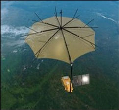
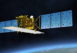


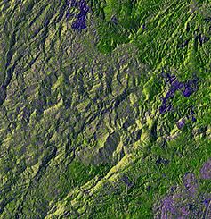
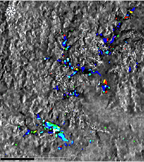
Image denoising
Algorithms to enhance image quality and reveal hidden features
State-of-the-art technology
Our compute-optimized technology detects and pinpoints concealed human-related anomalies across vast areas with maximum speed, precision, and at minimal cost.
Satellite data fusion
Data from multiple satellites to ensure high revisit frequency, optimal resolution and cost-efficiency
AI processing
Proprietary AI models to reveal suspect activity and human footprint on the environnement
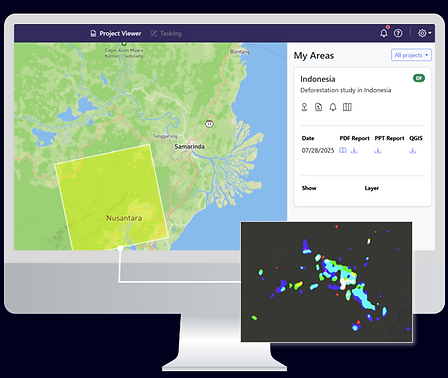
Selective logging and forest degradation
Our data fusion platform
We have a built an innovative « tip & cue » platform, fusing open-source SAR data with OSINT feeds to locate man-made anomalies and generate alerts.
These alerts help users prioritize the order of high-resolution data for cost-efficiency.
We help you focus on what matters, where it matters.
Solutions
Forestry
Below canopy monitoring
The vast majority of deforestation monitoring tools only detect changes in tree cover. They are blind to what is happening below the canopy.
Yet, this is where most of the activity happens. Selective logging, creation of tracks and roads, presence of equipment such as excavators.
Our solution can detect and monitor all of these indices, ensuring a complete and reliable understanding of what is happening underneath the canopy.


Border security
Remote & concealed area monitoring
Illegal cross-border activities happen at night, far away from border control posts and often within concealed locations, where traditional sensors can’t see.
Our L-band analytical engine provides intelligence on past and current activity within these areas, and locate logistical depots, fresh tracks, camps, or vehicles.
This solution can help you optimize border patrol oversight, activity tracking and reporting.